


Drone survey, aerial photogrammetry and multispectral mapping
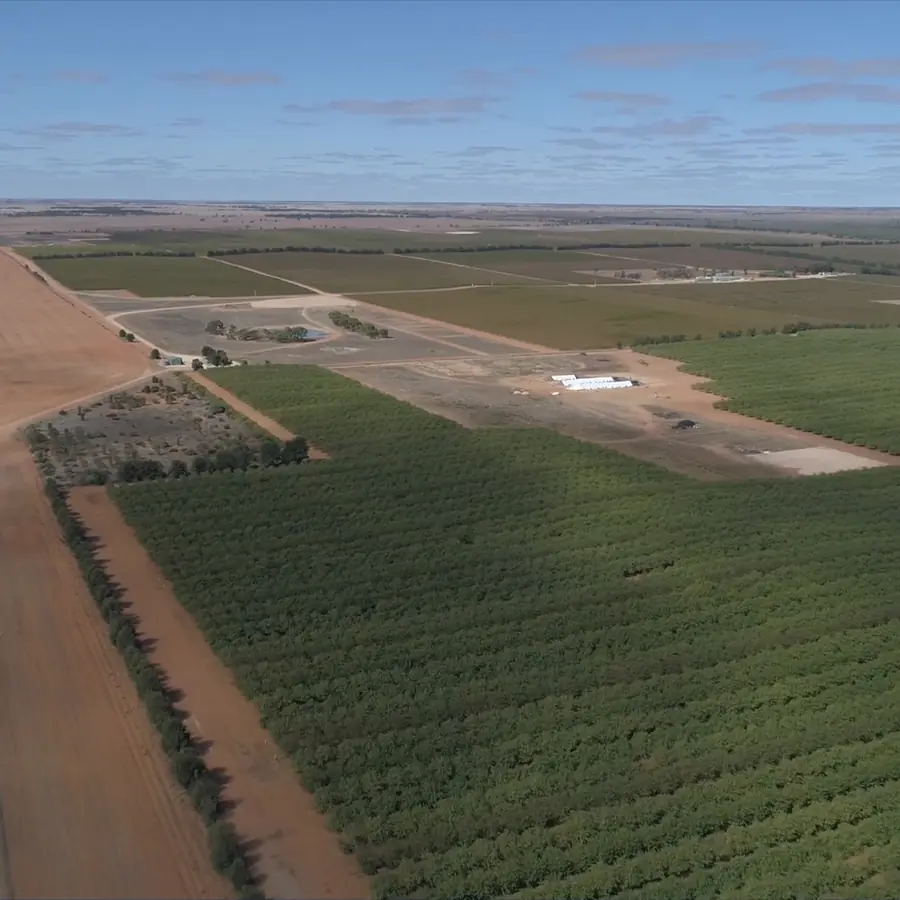
RTK drones map the block from low altitude: measured 3D surfaces for design and earthworks, and maps of how the crop is growing.
Overview
Measurements from the air, for work on the ground.
Aerial photogrammetry means taking measurements from overlapping aerial photos. Our RTK drones photograph the block from low altitude, and the photos are processed into maps and 3D models you can measure from. A multispectral camera also records light the eye can't see, which shows how the crop is growing.
Photogrammetry
A true to scale photo map and a 3D surface of the ground, with levels.
Multispectral
Maps built from bands beyond red, green and blue, showing plant stress and variability.
RTK positioning
Each image tied to its true position, so the maps line up with the design and the ground survey.
What we do
What we cover.
Aerial photogrammetry
The drone flies a set pattern and takes photos that overlap. Software matches the same points in photos taken from different angles and works out their position and height, which builds the 3D model.
- Orthomosaic photo maps of the whole area
- 3D surface models with levels
- Contours from the surface model
- Files ready for CAD and IRRICAD
Multispectral mapping
A multispectral camera records narrow bands of light, including bands beyond red, green and blue that the eye can't see. Healthy and stressed plants reflect these bands differently, so the maps show variation across a block that looks even from the ground.
- Plant stress and vigour
- Variability within and between blocks
- Index maps such as MCARI
- Areas to check first on the ground
Lower and sharper than aircraft or satellites
Flying much closer to the ground than an aircraft or satellite, a drone captures more detail, because each pixel covers less ground. It flies below the cloud, so cloud cover doesn't delay the work the way it can delay satellite imagery.
- Sharper detail than aircraft or satellite imagery
- Quicker to organise and fly
- Not held up by cloud cover
- RTK positioning on every flight
Design, earthworks and as built
Drone data goes straight to the team designing the block and the earthworks. The surface model gives levels for layout and drainage, and volumes for cut and fill.
- A base map for new layouts and redevelopments
- Cut and fill volumes for quoting earthworks
- Slope and catchment checks for drainage design
- As built imagery once the work is finished
Block variability and repeat flights
A multispectral map shows where a block isn't even. Flying it again later in the season, or the next year, shows what has changed and whether a fix has worked.
- Weak or stressed patches within a block
- Patterns that point to irrigation faults
- Before and after checks when something changes
- Season to season comparisons
What you get
Aerial data you can measure from, not just look at.
- Orthomosaic photo map of the area
- 3D surface model with levels
- Contours from the surface model
- Multispectral index maps by block
- Cut and fill volumes
- CAD and IRRICAD ready files
- Repeat flight comparisons
- As built imagery
Questions
Drone surveys, answered.
What is aerial photogrammetry?
Aerial photogrammetry is measuring the ground from photos taken from the air. A drone takes hundreds of overlapping photos, and software works out the position and height of every point seen in more than one of them. The result is a true to scale photo map (an orthomosaic) and a 3D surface you can take levels, areas and volumes from.
Can you do surveying with a drone?
Yes. Our drones fly with RTK positioning, and the results are checked against points we survey on the ground with RTK GPS, so the maps line up with real coordinates. A drone covers a large area quickly and records everything the camera can see. Where trees or crop hide the ground, or a level has to be precise, we survey it on the ground with RTK GPS to 2 cm.
What is multispectral imaging used for?
On a farm, it is used to find crop stress and variability that is hard to see from the ground. Plants reflect light differently as their health and chlorophyll change, and a multispectral camera measures that in bands beyond red, green and blue. The bands are combined into indices, such as NDVI or the MCARI chlorophyll index, that show weak patches, uneven irrigation and differences between blocks. Repeat flights show whether a change has made a difference.
How much does a drone survey cost per acre?
We don't publish a rate per acre or per hectare, because every job is different, so it's priced on application. What drives the price: the area, whether you need photogrammetry, multispectral or both, the accuracy you need, how many flights, how much processing and which files you need at the end, and travel. Send the property location and what the data is for, and we'll come back with a scope and a price.
Does weather stop a drone survey?
Cloud cover doesn't, because the drone flies below it. Rain and strong wind do, so flights are planned around the forecast.
Are your drone pilots licensed?
Yes. Ardal holds a CASA Remotely Piloted Aircraft Operator's Certificate (ReOC), and our drone surveys are flown by our three CASA licensed pilots.
Related
Need a block mapped from the air?
Send the property location, the area and what you need the data for. Nick, Matt or Aaron will call you back with a scope and a price.