


What we do
Surveying and mapping
RTK GPS, drone surveys under our CASA operator's certificate (ReOC) with three licensed pilots, and a survey boat, so nothing is lost between survey, design and the paddock.
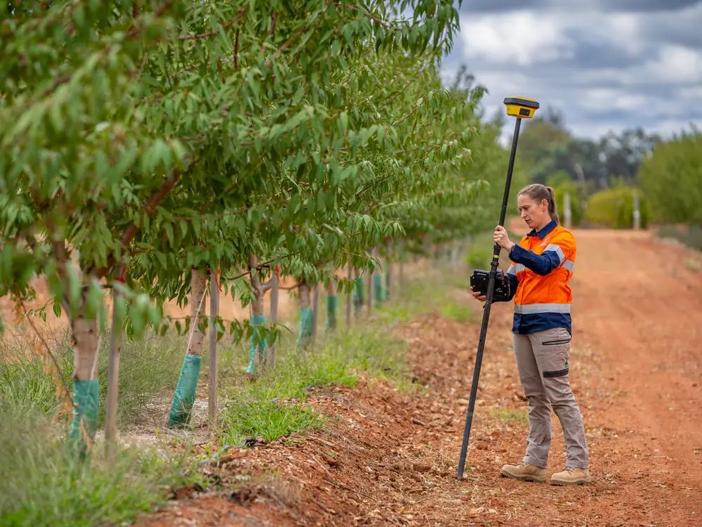
Feature surveys and contours
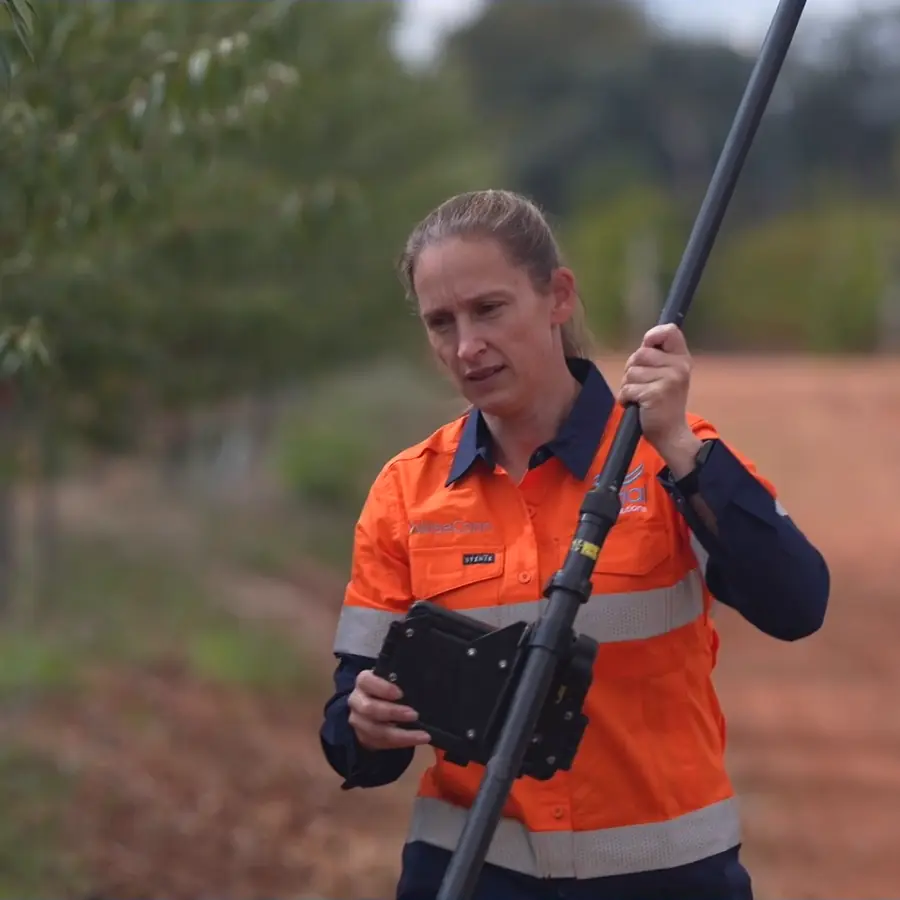
Our own RTK GPS gear, run by the people who will design the block. Accurate data is the difference between a design that works on paper and one that works in the paddock.
- Feature and contour surveys
- Existing pipes, pumps, valves and structures
- Exploration pits, grid and EM soil survey support
- Remote and hard to reach sites
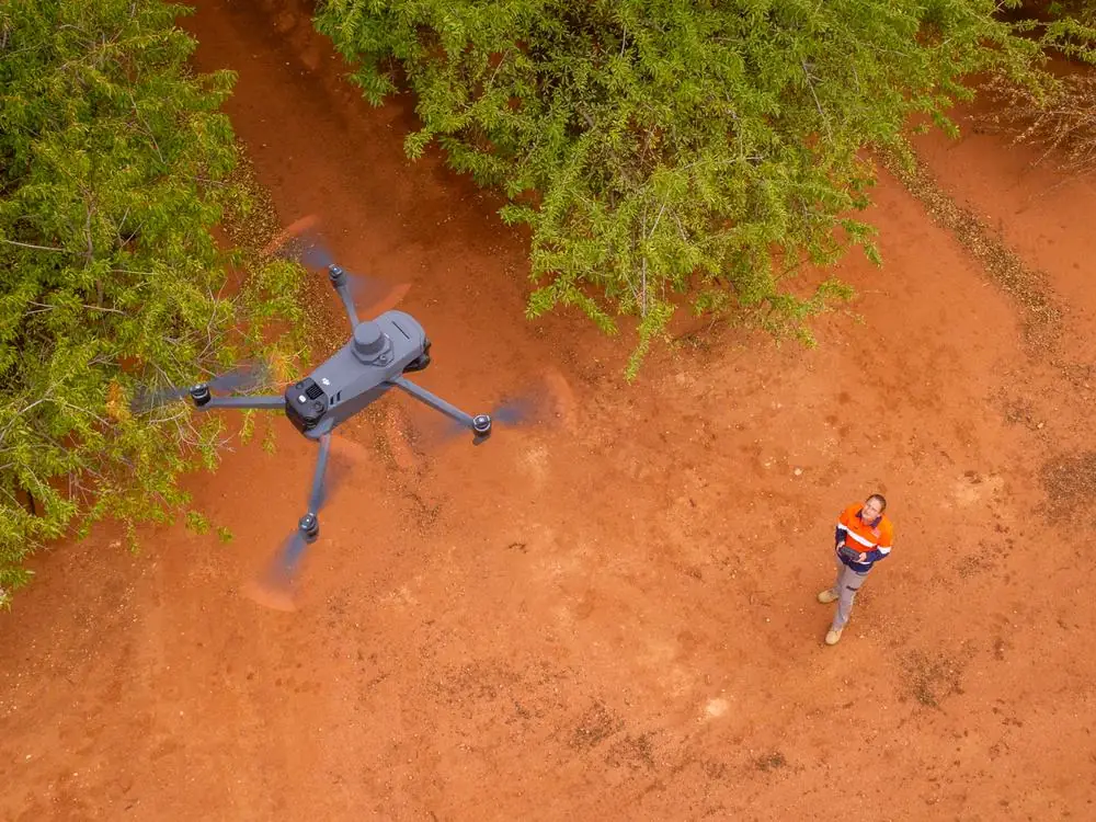
Aerial photogrammetry and multispectral
RTK drones fly lower than aircraft or satellites, so the data is sharper and quicker to collect, and cloud cover does not hold it up.
- Orthomosaics and 3D surface models for design and cut and fill
- Multispectral mapping that shows stress and variability before the trees do
- Whole block coverage from the air
- Repeat flights to track change season to season
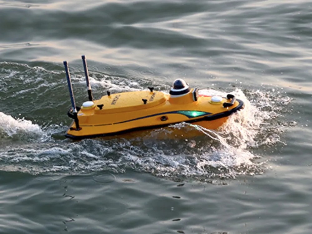
Marine bathymetry of dams and storages
The survey boat maps the bed of dams, storages, channels and rivers with RTK precision, while they hold water.
- Real storage capacity, not the number on the plan
- Silt build up and dead storage
- Depth at the intake and pump suction
- Inputs for water budgets and storage upgrades
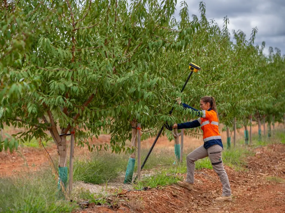
Surveying and staking on site
Design and survey are one team, so changes during the job are surveyed and drawn by the same people.
- Staking out rows, pipelines, pump pads and structures
- As built data collection during and after install
- Machine files for levelling and earthworks
- Drawings updated to what was actually built
What you get
Data your designer, contractor and machines can use.
- Contour and feature survey plans
- CAD and IRRICAD files, ready for design
- Orthomosaics and 3D surface models
- Multispectral maps by block
- Dam and storage capacity tables
- Machine files for Trimble, Topcon and similar
- Staking out rows, pipelines and pads on site
- As built drawings when the job is done
Questions
Surveying, answered.
How accurate is an RTK survey?
RTK GPS corrects the satellite position in real time, so our feature and contour surveys are accurate to 2 cm, not a few metres. That's accurate enough to design a pipeline, set a pump pad or stake tree rows straight from the survey.
What is the difference between photogrammetry and multispectral?
Photogrammetry stitches hundreds of overlapping drone photos into a measurable 3D model and orthomosaic of the block. Multispectral records light beyond what the eye sees, which shows plant stress, variability and irrigation faults across a block before they are obvious on the ground.
Can you survey a dam while it is full?
Yes. The survey boat maps the bed of a dam, storage or channel while it holds water, so nothing has to be drained. You get the real capacity, silt build up and the depth at the intake.
Do you survey outside Sunraysia?
Yes. The team is based in Mildura and works across Sunraysia, the Riverland, the Riverina, northern New South Wales, Queensland and New Zealand. Travel is quoted up front.
Do you do boundary surveys?
No. Our surveys are feature and contour surveys to RTK 2 cm, for design, earthworks and staking. Boundaries need a licensed cadastral surveyor, and we can work alongside yours.
What do I get at the end?
Survey data in the formats your designer, contractor or machine control needs: CAD and IRRICAD files, contour plans, orthomosaics, 3D surfaces and machine files. If Ardal is doing the design, it flows straight into it.
Need a block surveyed?
Send the property location and what you are planning. Nick, Matt or Aaron will call you back with a scope and a price.